
Locate. Verify. Protect. Proceed Safely.
Western Australia's trusted underground utility locating, survey, potholing and drone inspection specialists.
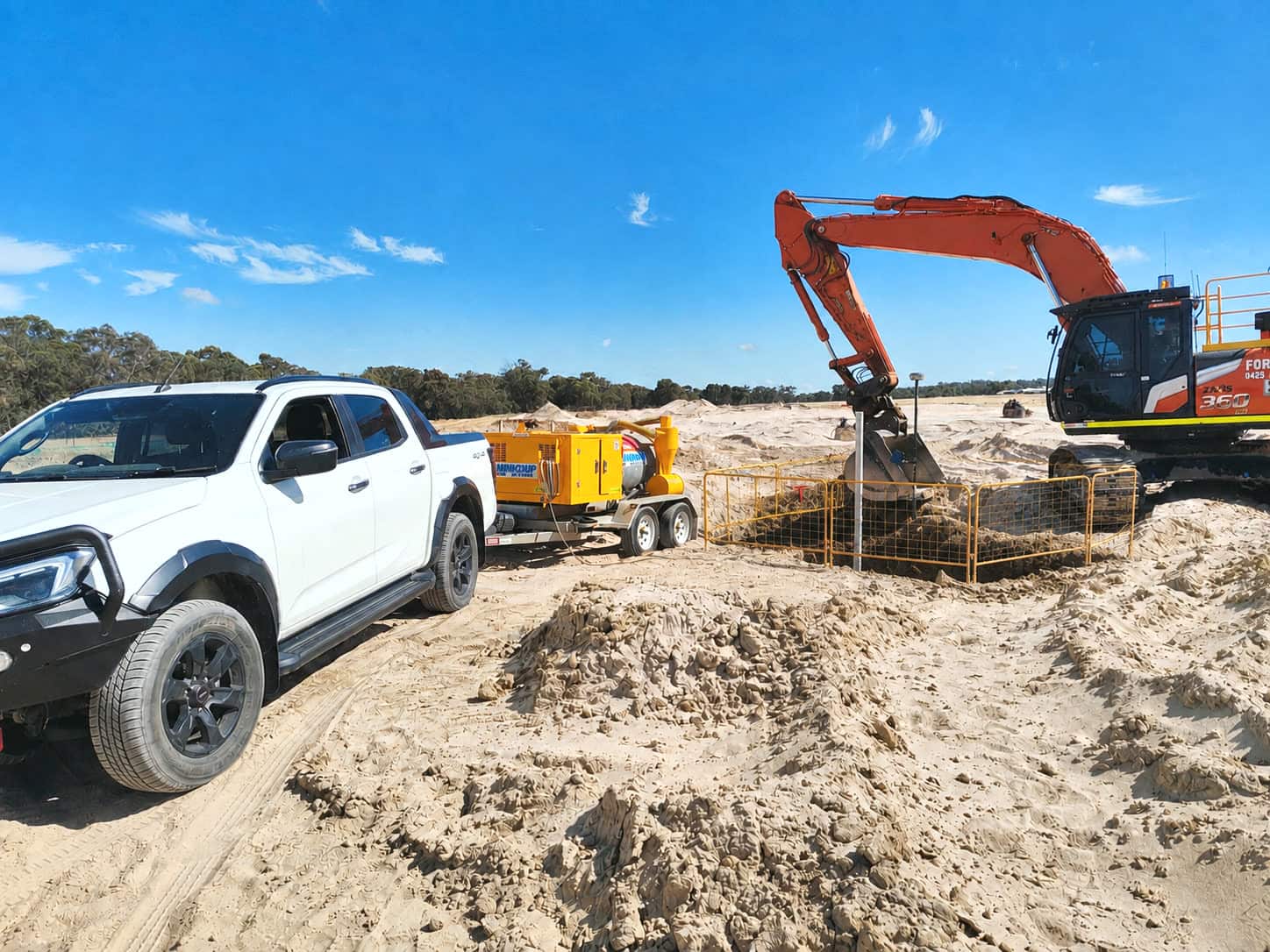
Safe, compliant and accurate underground service investigations across Western Australia, delivered by a CERTLOC Certified Locating Organisation, with experienced survey professionals and the latest GPR and electromagnetic locating technology.
- Industry experts
- 20+ years experience
- WA standards focused
Certified locating organisation/Work carried out to Dial Before You Dig practice
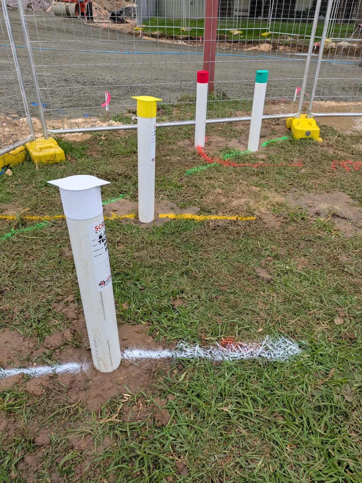
Why it matters
Locate. Protect. Proceed.
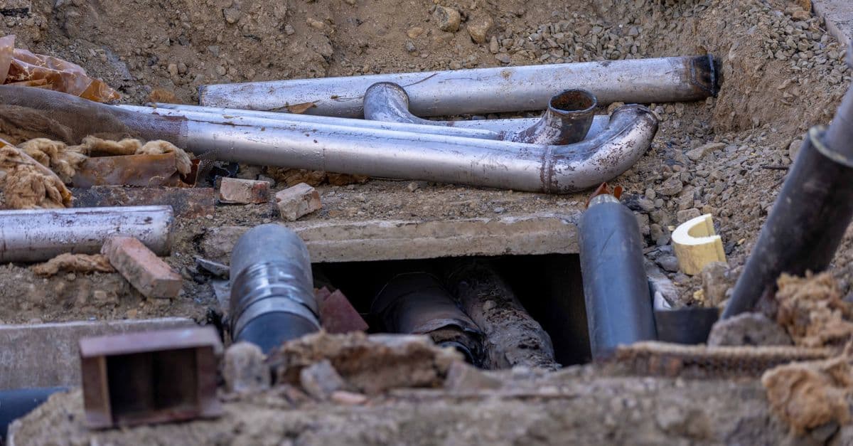
Excavating without reliable underground service information is one of the highest risks on any construction, infrastructure or maintenance project. Unidentified services can result in:
- Serious safety incidents
- Gas, power, water or communications strikes
- Project delays and shutdowns
- Expensive repairs and reinstatement
- Regulatory investigations and non-compliance
- Damage to client assets and reputation
The Scope Mapping process
Built around safety, risk management and compliance.
Every project begins with a structured, risk-based approach designed to protect people, infrastructure and program delivery.
- 01
PLAN
Review DBYD information, drawings, scopes of work, site constraints and the applicable Western Australian standards.
- 02
PREPARE
Site inspections, risk assessments, permits and utility search reviews, and safe work controls established.
- 03
POTHOLE
Non-destructive vacuum excavation to physically verify underground assets where required.
- 04
PROTECT
Mark, map and communicate identified services to every stakeholder before excavation begins.
- 05
PROCEED
Accurate utility survey data, risk reporting and documentation so the project can continue safely.
What we do on site
From a single service locate through to a full subsurface picture, plus the view from above.
Utility Locating
Electromagnetic locating, signal tracing and service identification, with mark-out for excavation and construction. Delivered by Certloc accredited locating personnel to reduce the likelihood of asset strikes, project delays and costly repairs.
Potholing & Vacuum Excavation
Physically expose a service to confirm exactly what is there.
Ground Penetrating Radar
Detect what electromagnetic methods cannot reach.
Utility Survey to AS 5488.1:2022
Accurate underground information. Better project decisions.
Drone Surveys
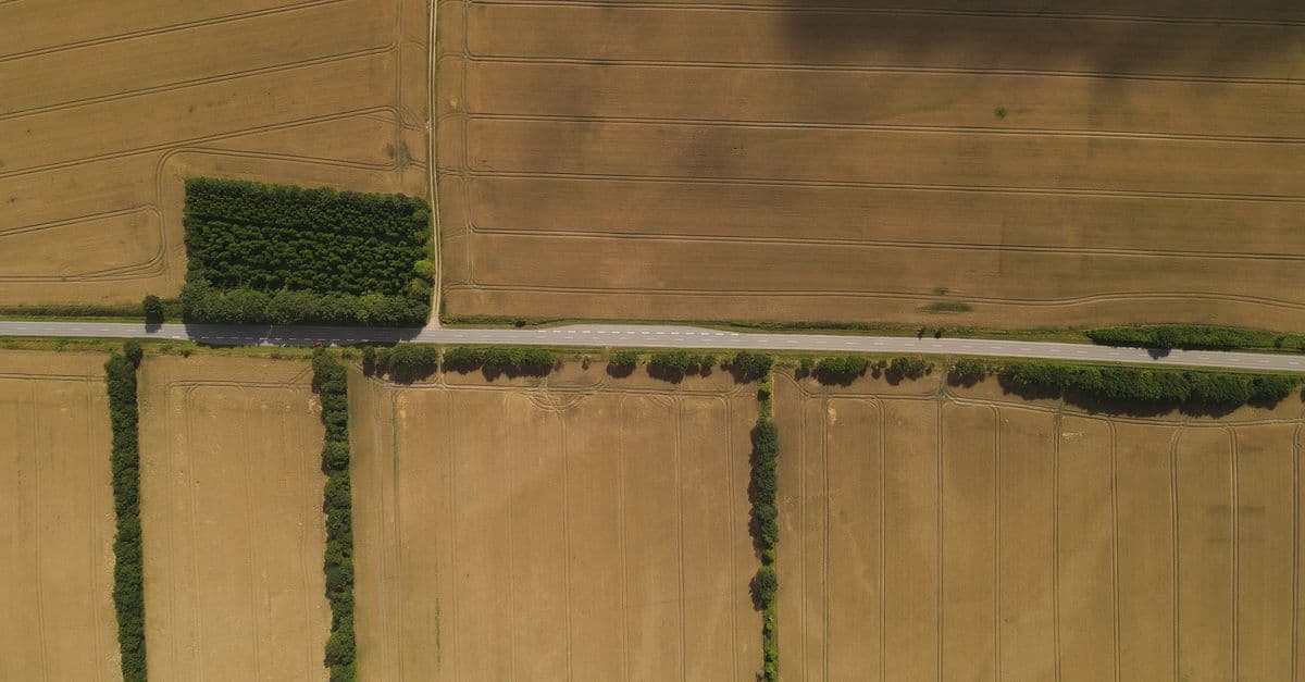
The picture above the ground to match the one below it.
AS 5488.1
We tell you how confident the information is.
AS 5488.1 classifies subsurface utility information by how it was obtained. Every investigation states the quality level it reaches, so you know what you are building on rather than assuming.
- QL-D
- Existing records and plans
- QL-C
- Surface feature correlation
- QL-B
- Geophysical detection, EM and GPR
- QL-A
- Physical verification by potholing
What you receive
- DWG / DXF
- PDF plans and mark-ups
- CSV coordinate schedules
- GIS shapefiles
- 3D surface and utility models
- Drone orthomosaics and point clouds
Combined with Quality Level A verification through potholing and surveyed utility pickup, these are among the highest quality underground information deliverables available for Western Australian projects.
CERTLOC Certified Locating Organisation / Telstra Accredited Plant Locator / Optus Accredited Locator
Certified locating organisation
Certified locating. Proven experience. Better damage prevention.
Scope Mapping is proud to be recognised as a CERTLOC Certified Locating Organisation, reflecting our commitment to professional training, practical experience and the highest standards of safety in underground utility locating.
Our CERTLOC certification demonstrates our capability to safely and accurately locate underground assets, helping provide greater certainty before excavation and construction begins.
We focus on damage prevention, accuracy and confidence, helping clients identify what lies beneath the ground so they can plan, design and excavate with greater certainty.
How a job runs
No two locates are the same, so there is no online calculator here pretending otherwise. Send the extent of works and you get a real answer from the person doing the job.
- 01
Send the extent of works
Tell us where the site is and what is planned. A drawing or scope document makes it quicker.
- 02
We check the records
Dial Before You Dig plans are ordered for the area and read against what you have told us.
- 03
On site
Services located and marked, exposed where you need certainty, and captured as you need it recorded.
- 04
You get the record
Marks on the ground for the crew, and a record of what was found for the people who come after them.

Trusted across Western Australia
- Infrastructure
- Civil construction
- Energy
- Communications
- Water
- Transport
- Mining
- Government
From metropolitan Perth to regional Western Australia, Scope Mapping provides responsive support for projects requiring accurate utility locating, professional survey services and dependable underground risk management.
Ready to reduce underground risk?
Locate. Verify. Protect. Proceed Safely.
Tell us about the site and the works planned. If you already have a scope of works or a drawing, attach it and we can come back to you faster.