
What we do on site
From a single service locate through to a full subsurface picture of the site, plus the view from above. If you are not sure which one you need, ring and describe the job.
Utility Locating
Find and mark underground services before excavation begins.
Electromagnetic locating, signal tracing and service identification, with mark-out for excavation and construction. Delivered by Certloc accredited locating personnel to reduce the likelihood of asset strikes, project delays and costly repairs.
- Electromagnetic cable and pipe locating
- Signal tracing and service identification
- Service mark-out for excavation and construction
- Certloc accredited locating personnel
- Utility strike prevention support
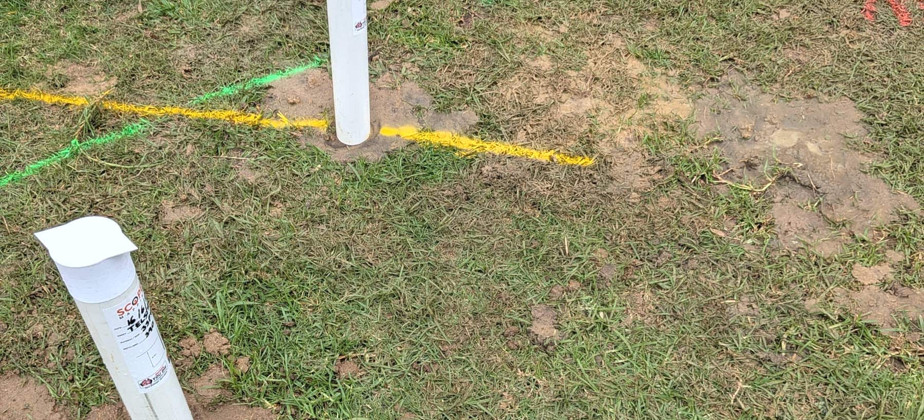
Potholing & Vacuum Excavation
Physically expose a service to confirm exactly what is there.
Non-destructive vacuum excavation to visually confirm service type, alignment and depth. This is what takes underground information from a geophysical indication to Quality Level A verification.
- Non-destructive service exposure
- Depth verification
- Asset confirmation prior to excavation
- High-risk crossing investigations
- Quality Level A verification support
Ground Penetrating Radar
Detect what electromagnetic methods cannot reach.
Many modern networks are plastic water pipe, polyethylene gas main and PVC conduit, none of which respond to standard EM locating. GPR detects non-metallic services, unknown utilities, voids and subsurface anomalies.
- Non-metallic pipe detection
- Unknown utility identification
- Congested corridor assessments
- Enhanced underground risk detection
Utility Survey to AS 5488.1:2022
Accurate underground information. Better project decisions.
GNSS and total station pickup of identified services, delivered as digital utility mapping with CAD and GIS outputs that design and construction teams can build from.
- Pickup and mapping of underground assets
- Survey control and feature survey
- Digital utility mapping
- CAD and GIS deliverables
- Construction and design support
Drone Surveys
The picture above the ground to match the one below it.
Aerial mapping, orthomosaic and photogrammetry outputs, volumetric and progress surveys, and high-resolution imagery for planning, captured efficiently across large areas.
- Aerial site mapping
- Orthomosaic and photogrammetry outputs
- Volumetric and progress surveys
- Remote access inspections
- High-resolution imagery for project planning
Not sure which one you need?
Describe the site and the works planned and we will tell you what the job actually calls for.