Protecting people, projects and underground infrastructure across Western Australia.
Our focus is simple: deliver accurate underground information that helps protect people, prevent asset damage and keep projects moving safely.
With 20+ years of underground utility and survey experience in surveying, utility locating and underground asset mapping, our team brings together practical field knowledge, modern technology and a strong understanding of the risks associated with excavation and construction throughout Western Australia.
We understand that striking underground services can have serious consequences, including injury, environmental harm, costly repairs, project delays and operational shutdowns. That is why every project is approached with a commitment to safety, precision and proactive risk management.
Our background in both surveying and utility locating is a genuine advantage. It combines accurate spatial positioning with advanced subsurface detection, which is what turns a located service into information a designer can build from.
Our experience
Two decades of hands-on work, across the sectors that dig.
Our personnel have delivered survey, spatial data collection and underground utility investigations across:
- Infrastructure
- Civil construction
- Energy
- Communications
- Water
- Transport
- Mining
- Government
That breadth means we understand not only where underground services are likely to be, but how construction projects actually run and what information a project team needs in order to make a safe decision.
Technology and capability
Subsurface and above-ground capability from one provider.
Ground Penetrating Radar
Detection of metallic and non-metallic underground services, unknown utilities and subsurface anomalies.
Electromagnetic locating
Advanced EM technology for tracing conductive cables, pipes and utility networks with improved accuracy.
Survey and spatial systems
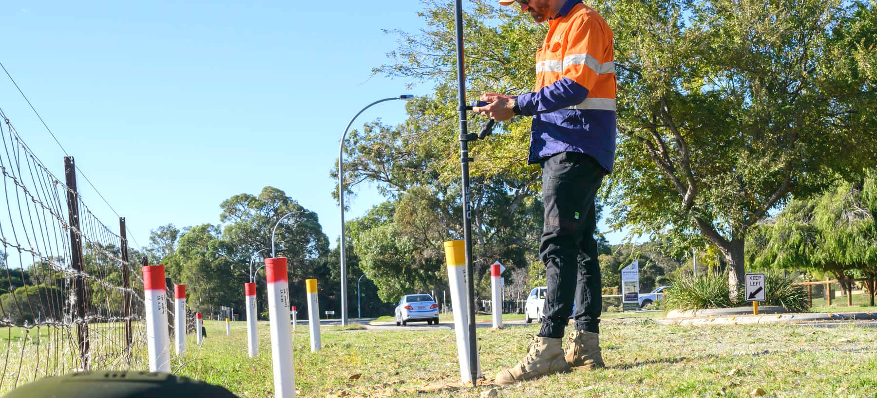
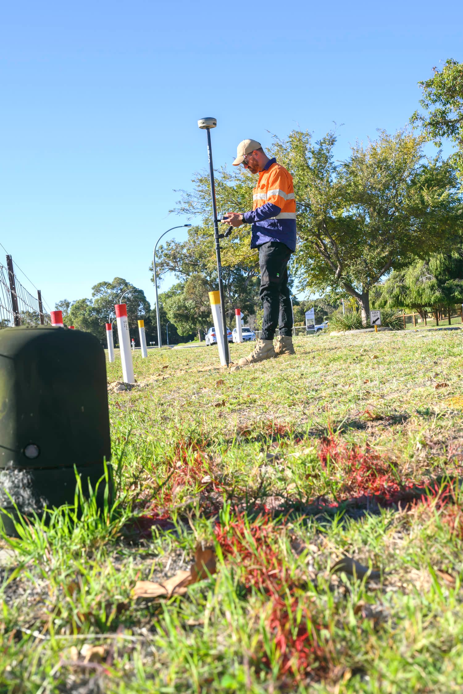
GNSS, total station and digital data collection for accurate utility pickup, feature survey and mapping.
Drone survey technology
Aerial mapping, orthomosaic generation and photogrammetry for efficient large-area data collection.
Safety and standards
Safety is not an add-on. It is how the work is done.
Scope Mapping is a CERTLOC Certified Locating Organisation. Certified locators and experienced survey professionals work together so investigations are completed with technical competence, traceability and attention to detail. The objective is clear, traceable and defensible utility information that contractors, designers and asset owners can make decisions on.
- AS 5488.1 Classification of Subsurface Utility Information
- Utility locating quality level methodologies
- WA excavation and underground service protection requirements
- Site-specific risk management and reporting processes
- Safe Work Method Statements and pre-start controls
- Documented verification and communication procedures
Locate. Verify. Protect. Proceed Safely.
Servicing Perth and regional Western Australia.