
Utility Survey to AS 5488.1:2022
Accurate underground information. Better project decisions.
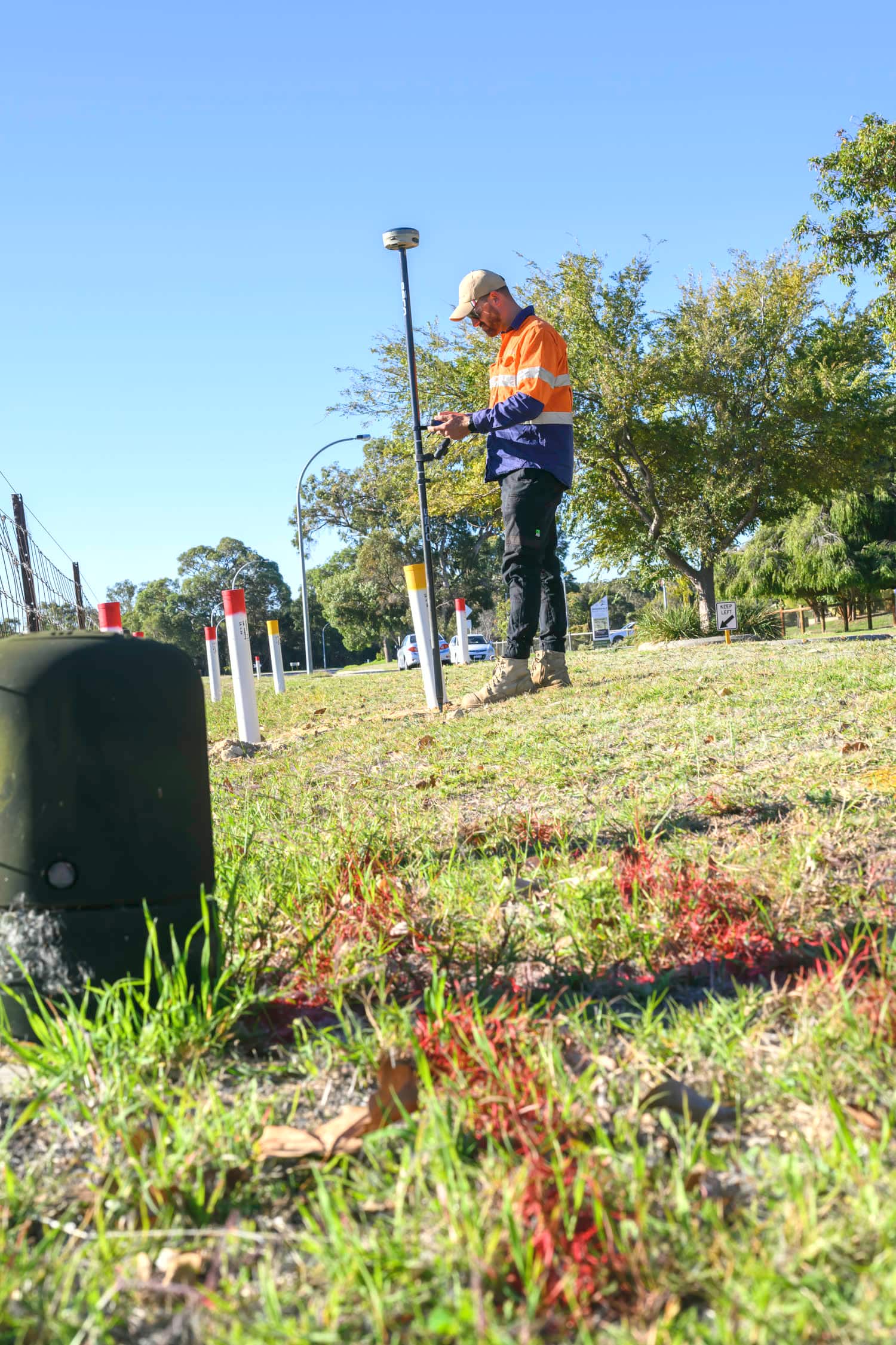
GNSS and total station pickup of identified services, delivered as digital utility mapping with CAD and GIS outputs that design and construction teams can build from.
What is included
- Pickup and mapping of underground assets
- Survey control and feature survey
- Digital utility mapping
- CAD and GIS deliverables
- Construction and design support
Subsurface utility information to a national standard
Scope Mapping provides utility surveying and subsurface utility information in accordance with the principles of AS 5488.1:2022, Classification of Subsurface Utility Information. The standard gives a nationally recognised framework for classifying underground utility information by its location, position and attribute information, so a project team can understand how reliable the data in front of them actually is.
Quality levels
We identify and document underground services across the AS 5488 quality levels. QL-A provides the highest level of verification, through positive identification and direct measurement of an exposed service.
- QL-D, existing records and available information
- QL-C, surface features and visible evidence
- QL-B, services detected and traced using locating technology
- QL-A, services physically exposed and surveyed in three dimensions
Why utility surveying matters
Reliable underground service information reduces the risk of utility strikes, avoids costly redesign, improves construction planning and gives greater confidence before excavation begins. Whether the job is subdivision works, civil construction, roadworks, drainage, an infrastructure upgrade or detailed design, we can provide clear survey-grade information on what is beneath it.
How it works
- 01Send through the extent of works and the site address.
- 02We order the Dial Before You Dig plans for the area and read them against what you have told us.
- 03On site, services are located, marked and recorded to suit the job.
- 04You get the marks the crew needs, and a record for whoever comes next.