
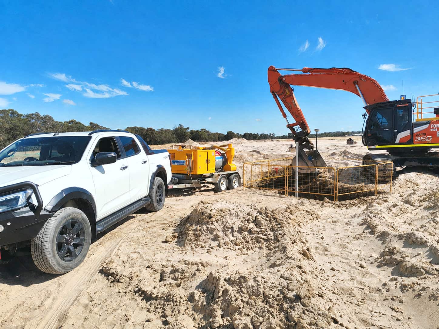
Potholing & Vacuum Excavation
Physically expose a service to confirm exactly what is there.
Non-destructive vacuum excavation to visually confirm service type, alignment and depth. This is what takes underground information from a geophysical indication to Quality Level A verification.
What is included
- Non-destructive service exposure
- Depth verification
- Asset confirmation prior to excavation
- High-risk crossing investigations
- Quality Level A verification support
From assumption to verification
Underground services rarely sit exactly where an old drawing puts them. Locating and GPR will identify and trace a service, but where a proposed design runs close to an existing asset, the only way to be certain is to expose it. Vacuum excavation does that without damaging what is down there.
- Exact position and alignment
- Depth and level
- Pipe or conduit size
- Material where visible
- Crossing points and potential clashes
- Separation between existing assets
Better information makes a better design
A design can look clear on a desktop plan while the real underground environment is nothing like it. Services turn up deeper or shallower than expected, on a different alignment, crossing the construction footprint, or with connections nobody documented. Exposing the critical ones early lets the design team move alignments and levels while that is still cheap.
Where potholing earns its cost
- Proposed utility crossings
- New drainage infrastructure
- Sewer and water connections
- Electrical and communications corridors
- Road widening
- Footings, structures and piling locations
- Directional drilling routes
- New pits, chambers and service tie-in points
How it works
- 01Send through the extent of works and the site address.
- 02We order the Dial Before You Dig plans for the area and read them against what you have told us.
- 03On site, services are located, marked and recorded to suit the job.
- 04You get the marks the crew needs, and a record for whoever comes next.